
File:USA Mt Shasta pano CA.jpg
Size of this preview: 800 × 298 pixels. Other resolutions: 320 × 119 pixels | 640 × 239 pixels | 1,024 × 382 pixels | 1,280 × 477 pixels | 2,560 × 955 pixels | 5,540 × 2,066 pixels.
Original file (5,540 × 2,066 pixels, file size: 4.28 MB, MIME type: image/jpeg)
Summary
| Camera location | | View this and other nearby images on: OpenStreetMap |
|---|
| Description |
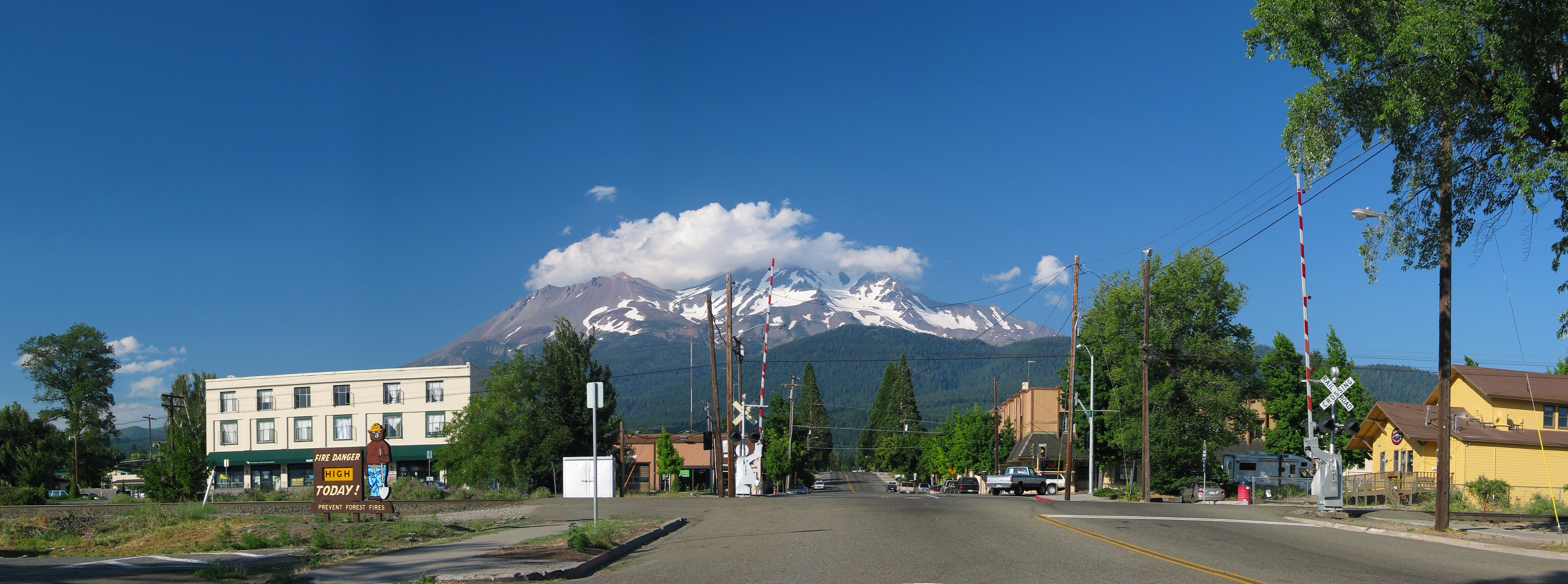
English: Panoramic of the City of Mount Shasta, with Mount Shasta in the backround, California, U.S.
Français : Le Mont Shasta vu du village du même nom, en Californie (États-Unis). |
| Date | |
| Source | Own work |
| Author | Daniel Schwen |
Licensing
This file is licensed under the Creative Commons Attribution-Share Alike 2.5 Generic license.
- You are free:
- to share – to copy, distribute and transmit the work
- to remix – to adapt the work
- Under the following conditions:
- attribution – You must give appropriate credit, provide a link to the license, and indicate if changes were made. You may do so in any reasonable manner, but not in any way that suggests the licensor endorses you or your use.
- share alike – If you remix, transform, or build upon the material, you must distribute your contributions under the same or compatible license as the original.
File history
Click on a date/time to view the file as it appeared at that time.
| Date/Time | Thumbnail | Dimensions | User | Comment | |
|---|---|---|---|---|---|
| current | 17:06, 1 August 2006 | 5,540 × 2,066 (4.28 MB) | Dschwen | {{Information |Description=Mount Shasta as seen from the town with the same name. |Source=Own work |Date=July 29th 2006 |Author=Daniel Schwen |Permission=See license |other_versions= }} |
File usage
The following 2 pages use this file: